Indian Navigator Apps
Indian Navigator Apps are specialized digital mapping and navigation applications designed to cater to the unique and diverse road conditions across India. These apps provide users with detailed maps, real-time traffic updates, and turn-by-turn voice guidance. Developed by both private tech companies and government organizations, they often include hyperlocal features, safety alerts, and support for multiple Indian languages, offering a robust alternative to international navigation services.

Mappls
India 🇮🇳
Mappls, from MapmyIndia, is an Indian navigation app that provides detailed maps down to the house number level. It features 3D junction views to help with complex flyovers, real-time traffic updates, and safety alerts for things like speed bumps and potholes. It is promoted as a "Swadeshi" or indigenous application.
MapmyIndia
India 🇮🇳
MapmyIndia is the company behind the Mappls app and has been involved in digital mapping in India since 1995. They offer various navigation solutions, including offline maps and live traffic data for many Indian cities. Their products are designed for both individual consumers and in-car systems.
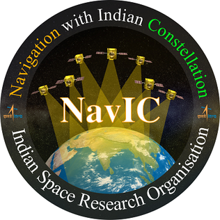
NavIC
India 🇮🇳
Navigation with Indian Constellation (NavIC) is India's own satellite navigation system, developed by the Indian Space Research Organisation (ISRO). It is designed to provide accurate positioning services for India and the surrounding region. The system can be used for various applications, including terrestrial, aerial, and marine navigation, as well as disaster management and vehicle tracking.

Ola Maps
India 🇮🇳
Ola Maps is a navigation service created by the ride-hailing company Ola, with a focus on India's unique road conditions. It provides real-time traffic updates and accurate turn-by-turn directions. Ola Maps also offers APIs and SDKs for developers to integrate into their own applications.
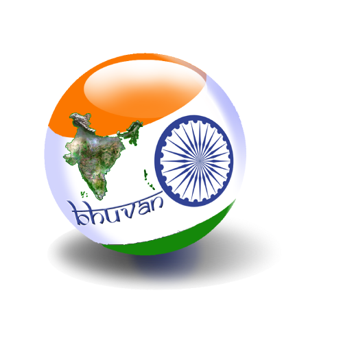
Bhuvan
India 🇮🇳
Bhuvan is a geo-portal from ISRO that offers a variety of geospatial services. While it's more than just a navigation app, it includes features for real-time location tracking and voice-guided navigation through its "Pocket Bhuvan" application. It also provides data for disaster management and natural resource management.